Thazhal Geospatial Analytics Uses Satellite Data And AI To Monitor Infrastructure And Environmental Risks
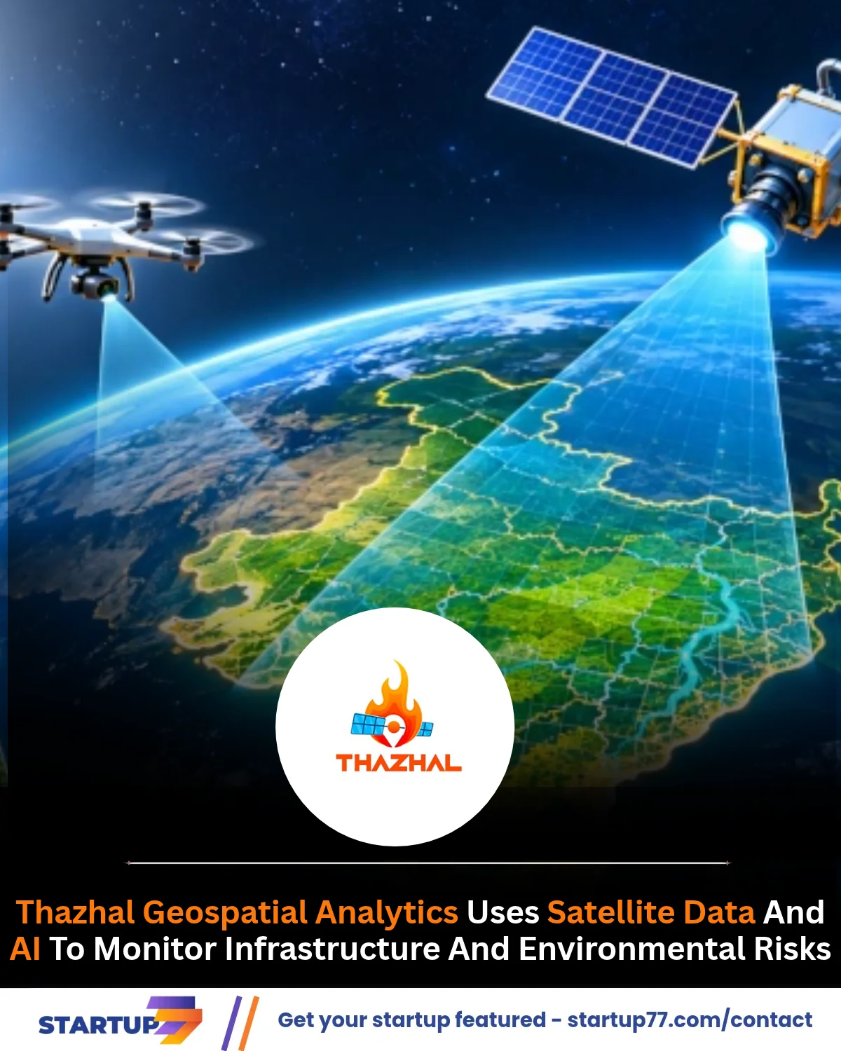
From tracking construction progress to monitoring roads, bridges and ecosystems, Thazhal Geospatial Analytics is turning geospatial data into actionable insights. Based in Tirunelveli, the startup combines satellite imagery, drone data and IoT sensors to help lenders, insurers, businesses and government agencies assess infrastructure and environmental risks.
Founder Vignesh Kandasamy recently showcased the company's capabilities during his interaction with Prime Minister Narendra Modi on the Chennai Metro. He discussed applications such as identifying construction delays, monitoring roads and bridges, and assessing lakes and mangrove ecosystems. According to Kandasamy, the Prime Minister specifically enquired about using the technology to monitor road and bridge infrastructure.
#GeospatialTechnology #ClimateTech #DeepTech #Startup77